Marc
Manzanares
Smart Mobility Manager
Marc
Manzanares

A fan of video games, FC Barcelona, and currently highly motivated to improve his padel game, Marc Manzanares is also a Computer Engineering graduate from the Barcelona School of Informatics (FIB). He holds a Master’s degree in Innovation and Research in Informatics and serves as the Head of the Smart Mobility Area at inLab FIB.

His career spans various fields, including Information Technology, Service and Knowledge Engineering, Simulation and Modeling, Artificial Intelligence, and Data Science. Currently, his focus lies in Smart Mobility and Data Spaces.

He has worked on a wide range of projects across these disciplines, including multitenant web applications, websocket implementation, route optimization, object-recognition mobile apps, and statistical models for transport and mobility.

He is always looking for new challenges, stepping out of his comfort zone, exploring emerging technologies, and acquiring new knowledge.

Main projects directed

The main propose of AgriLogistics is the creation of a collaborative data space that facilitates access to information for all stakeholders in the agri-food supply chain, with the aim of strengthening logistics and improving its efficiency.
The DS4MOBMODELS project aims to define and create an advanced Mobility Data Space that integrates transport and freight, traffic, and passenger data and models across various regions, such as Spain, the New Aquitaine–Basque Country–Navarre Euroregion, and the Central Region of Portugal.
The aim of the i-MovE project is to generate a collaborative data space that facilitates access to urban mobility information to all actors in the transport sector. This space will contain different types of data with different spatial and temporal aggregation frames.

Main projects participated

Project to support the development of theoretical concepts and practical tools applied to optimized routes in the field of on-demand transportation.
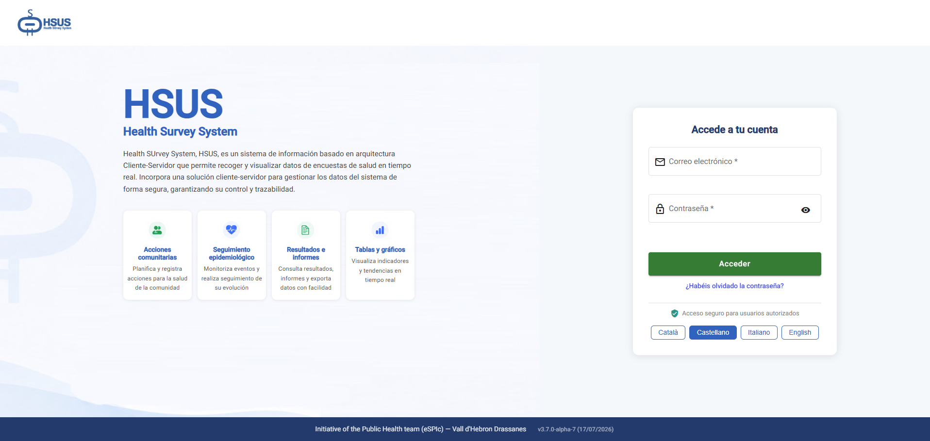
Digitisation of surveys for the detection of infectious diseases, allowing results to be viewed in a graphical and easy-to-understand format, as well as enabling geolocation of where they were carried out.
Improve accessibility for People with Reduced Mobility (PRM) on the different modes of transport linked to the MTA and improve the user’s experience of the rail network map.

Blog articles