AgríLogistics

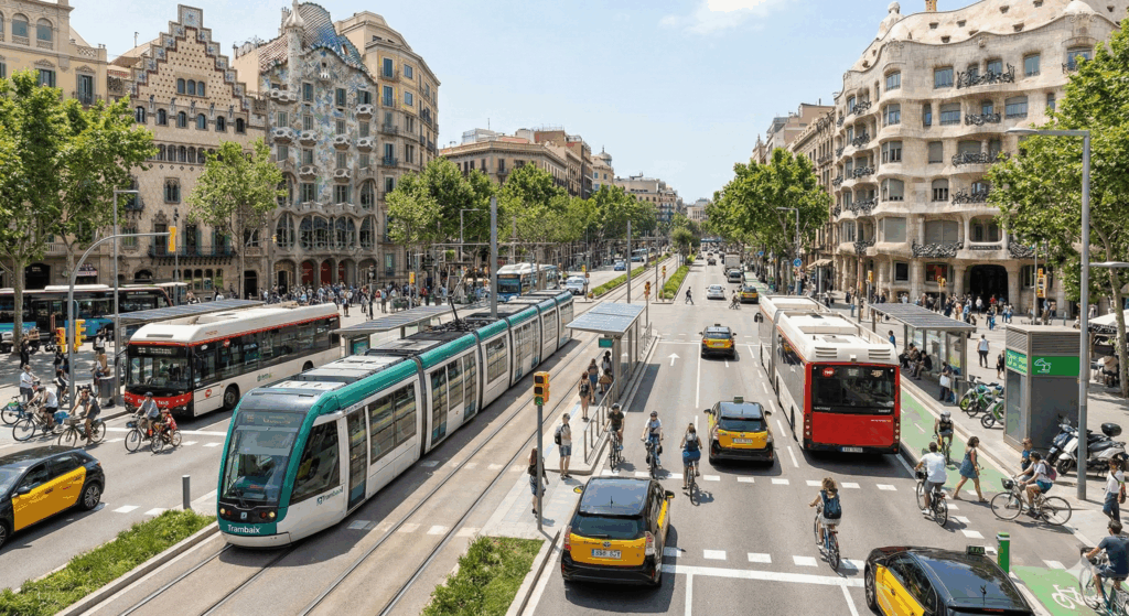
TRAFFIC MICROSIMULATION WITH SUMO

What is MST? According to Wikipedia, “traffic simulation is a mathematical modeling of transportation systems that uses software to help plan, design, and operate transportation systems.” Traffic simulation models are especially useful for infrastructure management, both urban (cities) and interurban (highways), helping authorities provide answers to essential planning questions: Should we install traffic lights at […]
Proof of concept of a Digital Twin for a generic highway segment

DS4MOBMODELS (DATA SPACE 4 MOBILITY MODELS INTEGRATION)

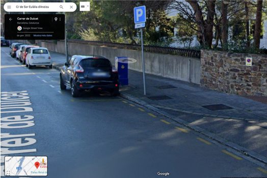
Accessible parking spot location using satellite images

One major challenge faced by individuals with reduced mobility when travelling with their own vehicles to new areas is the lack of information about where to find accessible parking spots places and their usage constraints. While some large cities offer this information through official platforms such as the city hall webpage or mobile application, this […]
i-MovE (interoperability for efficient, safe and equitable mobility)
Technological innovations in the field of safety and mobility for Alphanet

Spot4Dis for AsoPMR
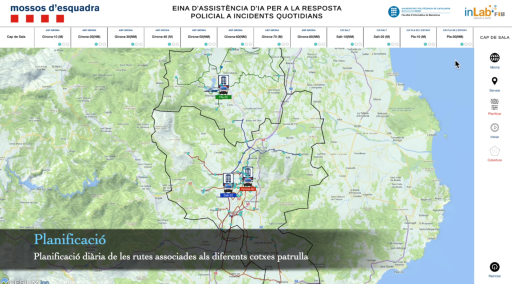
Artificial Intelligence-assisted police patrol manager for Mossos d’Esquadra
Exploration of EMEF data for ITS Spain