Local SDI Geoportals by the Barcelona Provincial Council
Description
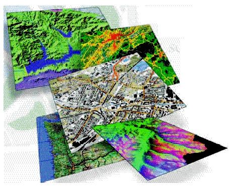
An SDI (Spatial Data Infrastructure) is a computer system composed of a set of resources (catalogs, servers, programs, data, applications, Web pages,…) dedicated to manage geographic information (maps, orthophotos, satellite images, toponyms,…), available to the Internet, that meet a series of interoperability conditions (standards, specifications, protocols, interfaces,…) that allow a user, using a simple browser, to use and combine them according to their needs.
The Diputació de Barcelona, in compliance with the powers assigned to support local administration, offers a service aimed at the municipalities of the province based on the implementation of local SDI geoportals, where you can find the resources available within its jurisdiction and facilitates compliance with current legislation (INSPIRO directive and transposition LISIGE).
Inlab implements these web portals of geographic information of the municipalities, in a dynamic and parameterized way, depending on the resources available to each municipality in this area. These portals serve as an entry point to all SDI related resources such as map viewers, metadata catalog, web geoservices, geographic information downloads and a gazetteer.