Home » Success Stories »
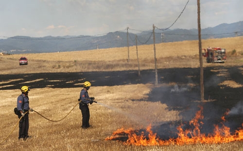
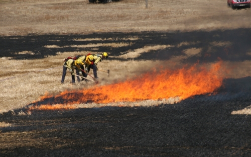
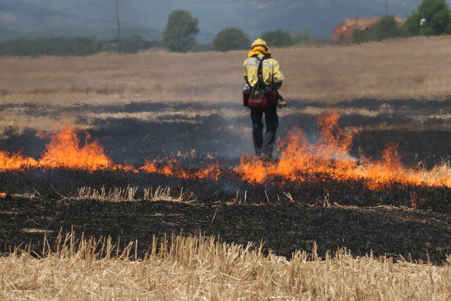
The objective of this project is to develop a decision support tool for the management of land resources involved in forest fire suppression.
A GIS platform will be implemented to provide real-time information on the location of firefighters as well as air and ground resources. A multi-criteria optimization algorithm will also be implemented with the objective of minimizing inefficient movements of material and people, thus optimizing available resources.
This platform will allow the visualization of the evolution of the fire front together with the fire characteristics provided by the image processing algorithms.
The project will integrate geospatial information, road networks, roads, and a 3D terrain model. In addition, it will gather information from various sources to feed the simulator and the optimitzator with the data they need.
The project will adapt the current tooPath tracking system to the needs of fire management. Some of these changes include the development of controllers for location communication for UAVs (unmanned aerial vehicles), the development of different APIs to access information from the GIS system, the verification of data from GPS units, the georeferencing of terrestrial resources and the generation of the road and highway graph of the area affected by the fire.
FireFIGHT is a subproject of the coordinated project “FireGUARD: Fire management through efficient coordination of ground and air resources”. FireGUARD is organized from the coordination of three complementary and collaborative sub-projects: (1) “FireMANIA: Fire management through the integration of unmanned aircraft”, (2) “FireWATCHER: Fire warning by aerial ground control with hot spots” and (3) “FireFIGHT: Fire suppression through the optimization of ground logistics”: